
The Canadian Explorer
The Canadian ExplorerDiscover Canada · Explore Beyond

Road Trips

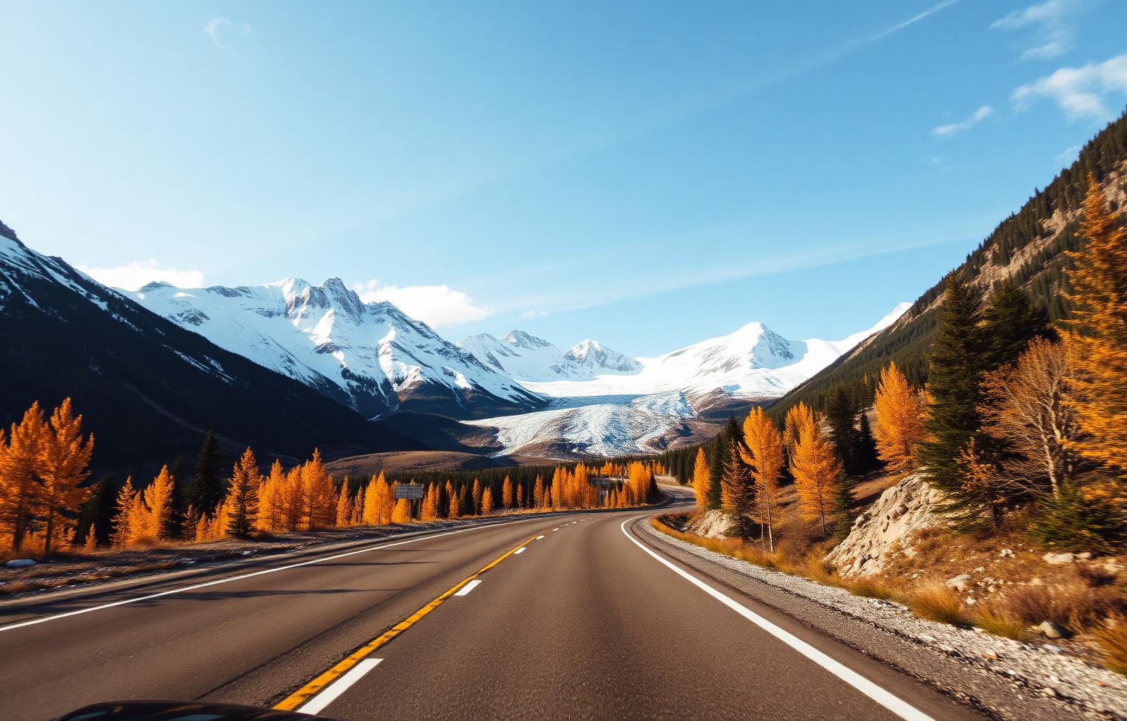
The open road, our way.

Ten legendary drives, each a self-contained adventure. Roll the windows down, and let the country choose your soundtrack.

✨ Build my custom itinerary

Drives

30

Total km charted

14,282 km

Provinces & territories

12

Editorial picks

120

Find your drive

The road-trip
finder.

Filter by region, province, length, difficulty, season, RV suitability, and travel style. We'll surface the drives that match.

30 drives match

Icefields ParkwayRoute 01 / 30

Alberta

Icefields Parkway

The most scenic drive in the world, according to almost everyone who's done it.

Lake Louise to Jasper through a corridor of glaciers, turquoise lakes, and roadside grizzlies.

Distance
232 km
Duration
3 days
Season
May – October
  • Columbia Icefield
  • Peyto Lake viewpoint
  • Athabasca Falls
  • Lake Louise
Explore the route →
Cabot TrailRoute 02 / 30

Nova Scotia

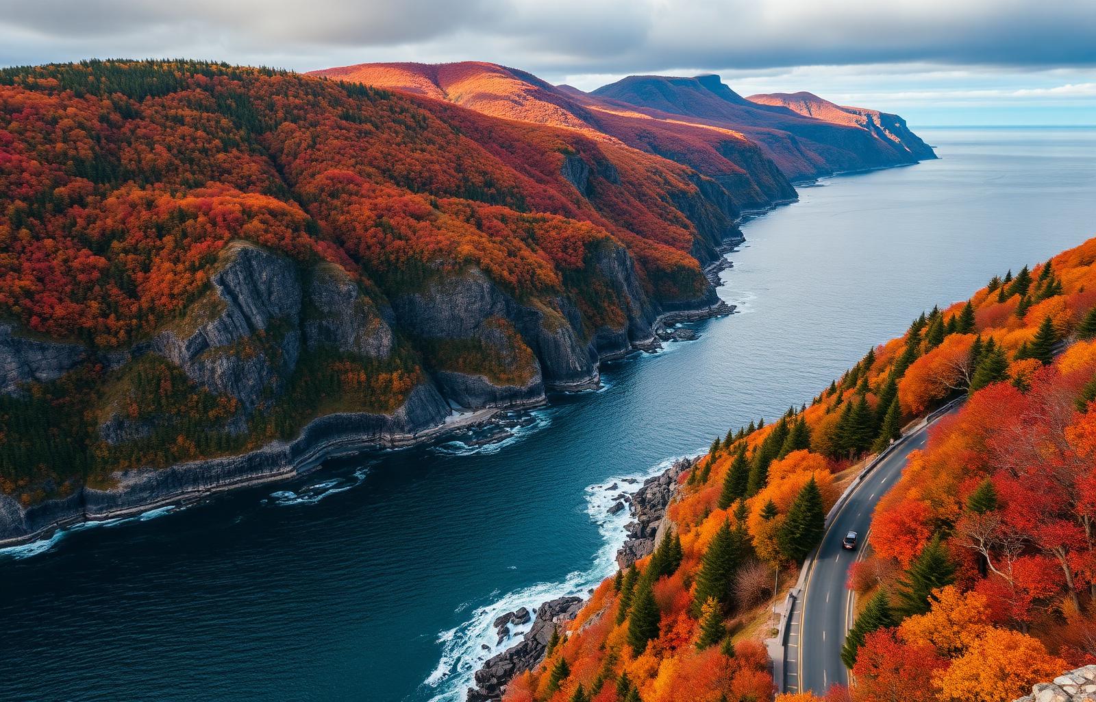
Cabot Trail

Where the Highlands meet the Atlantic, and Celtic music spills out of every pub.

A loop around Cape Breton's wild northern coast, with whale-watching, hikes, and lobster suppers.

Distance
298 km
Duration
4 days
Season
June – October
  • Cape Breton Highlands NP
  • Skyline Trail at sunset
  • Ingonish beaches
  • Whale watching at Pleasant Bay
Explore the route →
Sea-to-Sky HighwayRoute 03 / 30

British Columbia

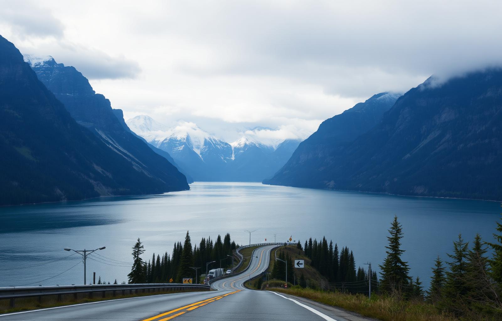
Sea-to-Sky Highway

From cruise-ship harbour to ski-town gondola in a single, cinematic afternoon.

Vancouver to Whistler along the Howe Sound fjord — waterfalls, granite walls, and ocean on one side.

Distance
121 km (Vancouver–Whistler)
Duration
2 days
Season
Year-round
  • Shannon Falls
  • Sea-to-Sky Gondola
  • Squamish Chief
  • Whistler Village
Explore the route →
Gaspé PeninsulaRoute 04 / 30

Québec

Gaspé Peninsula

A French-speaking coastline of fishing villages, sea cliffs, and lighthouse-flecked headlands.

A grand loop around Québec's eastern peninsula where the St. Lawrence meets the open Atlantic.

Distance
885 km
Duration
7 days
Season
June – September
  • Forillon National Park
  • Percé Rock
  • Bonaventure Island gannet colony
  • Parc national de la Gaspésie
Explore the route →
Fundy Coastal DriveRoute 05 / 30

New Brunswick

Fundy Coastal Drive

The world's highest tides, on a schedule you can plan a road trip around.

From St. Stephen to Aulac along the Bay of Fundy — sea stacks, whale watching, and tidal bores.

Distance
460 km
Duration
5 days
Season
May – October
  • Hopewell Rocks
  • St. Andrews-by-the-Sea
  • Fundy National Park
  • Cape Enrage
Explore the route →
Dempster HighwayRoute 06 / 30

Yukon & NWT

Dempster Highway

Gravel, tundra, and the only public road in Canada that crosses the Arctic Circle.

Dawson City to Inuvik — a wilderness drive through the Tombstone Range and across the Arctic Circle.

Distance
740 km
Duration
6 days
Season
Late June – early September
  • Tombstone Territorial Park
  • Arctic Circle crossing
  • Peel & Mackenzie ferries
  • Inuvik & the Igloo Church
Explore the route →
Viking TrailRoute 07 / 30

Newfoundland

Viking Trail

From a UNESCO geological wonder to the only confirmed Norse settlement in North America.

Deer Lake to L'Anse aux Meadows along Route 430 — fjords, fossils, and Viking longhouses on Newfoundland's Great Northern Peninsula.

Distance
489 km
Duration
6 days
Season
June – September
  • Gros Morne National Park
  • Western Brook Pond fjord
  • Port au Choix archaeology
  • L'Anse aux Meadows UNESCO site
Explore the route →
Crowsnest HighwayRoute 08 / 30

British Columbia & Alberta

Crowsnest Highway

The quieter southern alternative to the Trans-Canada — Rockies, wineries, and ghost towns.

Hope to Medicine Hat along Highway 3 — through the Okanagan, the Kootenays, and the Crowsnest Pass.

Distance
1,160 km
Duration
7 days
Season
May – October
  • Manning Provincial Park
  • Osoyoos wineries
  • Nelson heritage downtown
  • Frank Slide interpretive centre
Explore the route →
Niagara ParkwayRoute 09 / 30

Ontario

Niagara Parkway

Winston Churchill called it the prettiest Sunday afternoon drive in the world.

Niagara-on-the-Lake to Fort Erie along the Niagara River — wineries, the Falls, and Loyalist heritage.

Distance
55 km
Duration
1 day
Season
April – November
  • Niagara-on-the-Lake heritage town
  • Niagara Falls Canadian viewpoints
  • Whirlpool Aero Car
  • Old Fort Erie
Explore the route →
Top of the World HighwayRoute 10 / 30

Yukon & Alaska

Top of the World Highway

A ridge-top gravel road from Dawson City to Alaska — closed half the year, surreal the other half.

The Yukon River ferry, the highest border crossing in Canada, and one of the most photographed drives in the North.

Distance
127 km
Duration
2 days
Season
Late May – mid-September
  • George Black Ferry crossing
  • Ridge-top panoramic drive
  • Poker Creek border (smallest in North America)
  • Chicken, Alaska gold-rush town
Explore the route →
Vancouver Island CircleRoute 11 / 30

British Columbia

Vancouver Island Circle

Two coasts, one island — from British garden capital to storm-battered surf beaches.

Victoria to Port Hardy via Tofino — a full loop of the Pacific coast, old-growth forests, and orca waters.

Distance
1,050 km
Duration
8 days
Season
May – October
  • Butchart Gardens
  • Cathedral Grove old-growth
  • Tofino & Long Beach
  • Orca-watching from Telegraph Cove
Explore the route →
Okanagan Wine RouteRoute 12 / 30

British Columbia

Okanagan Wine Route

Canada's most concentrated wine country, wrapped around a chain of warm lakes.

Osoyoos to Vernon along Highways 97 and the Naramata Bench — 200+ wineries, lake beaches, and desert vineyards.

Distance
260 km
Duration
4 days
Season
April – October
  • Nk'Mip Desert Cultural Centre
  • Naramata Bench cycling
  • Mission Hill Family Estate
  • Osoyoos Lake beaches
Explore the route →
Cowboy Trail (Highway 22)Route 13 / 30

Alberta

Cowboy Trail (Highway 22)

The foothills highway where the Rockies meet the ranchlands of the Old West.

Waterton Lakes to Mayerthorpe along Highway 22 — cattle country, foothills panoramas, and rodeo towns.

Distance
640 km
Duration
5 days
Season
May – October
  • Waterton Lakes National Park
  • Bar U Ranch NHS
  • Sheep River foothills
  • Rocky Mountain House NHS
Explore the route →
Lake Superior Circle TourRoute 14 / 30

Ontario

Lake Superior Circle Tour

The wild north shore of the world's largest freshwater lake.

Sault Ste. Marie to Thunder Bay on Highway 17 — through Lake Superior Provincial Park, Pukaskwa, and the Group of Seven's landscape.

Distance
710 km (Ontario shore)
Duration
6 days
Season
June – early October
  • Lake Superior Provincial Park
  • Agawa Canyon Tour Train
  • Pukaskwa National Park
  • Sleeping Giant Provincial Park
Explore the route →
Charlevoix & Saguenay FjordRoute 15 / 30

Québec

Charlevoix & Saguenay Fjord

From Québec City through a UNESCO Biosphere to Canada's only true fjord.

Québec City to Tadoussac via Baie-Saint-Paul and the Saguenay Fjord — art villages, whales, and cliffside auberges.

Distance
480 km
Duration
5 days
Season
May – October
  • Baie-Saint-Paul galleries
  • Fairmont Le Manoir Richelieu
  • Tadoussac whale watching
  • Saguenay Fjord National Park
Explore the route →
PEI Coastal DriveRoute 16 / 30

Prince Edward Island

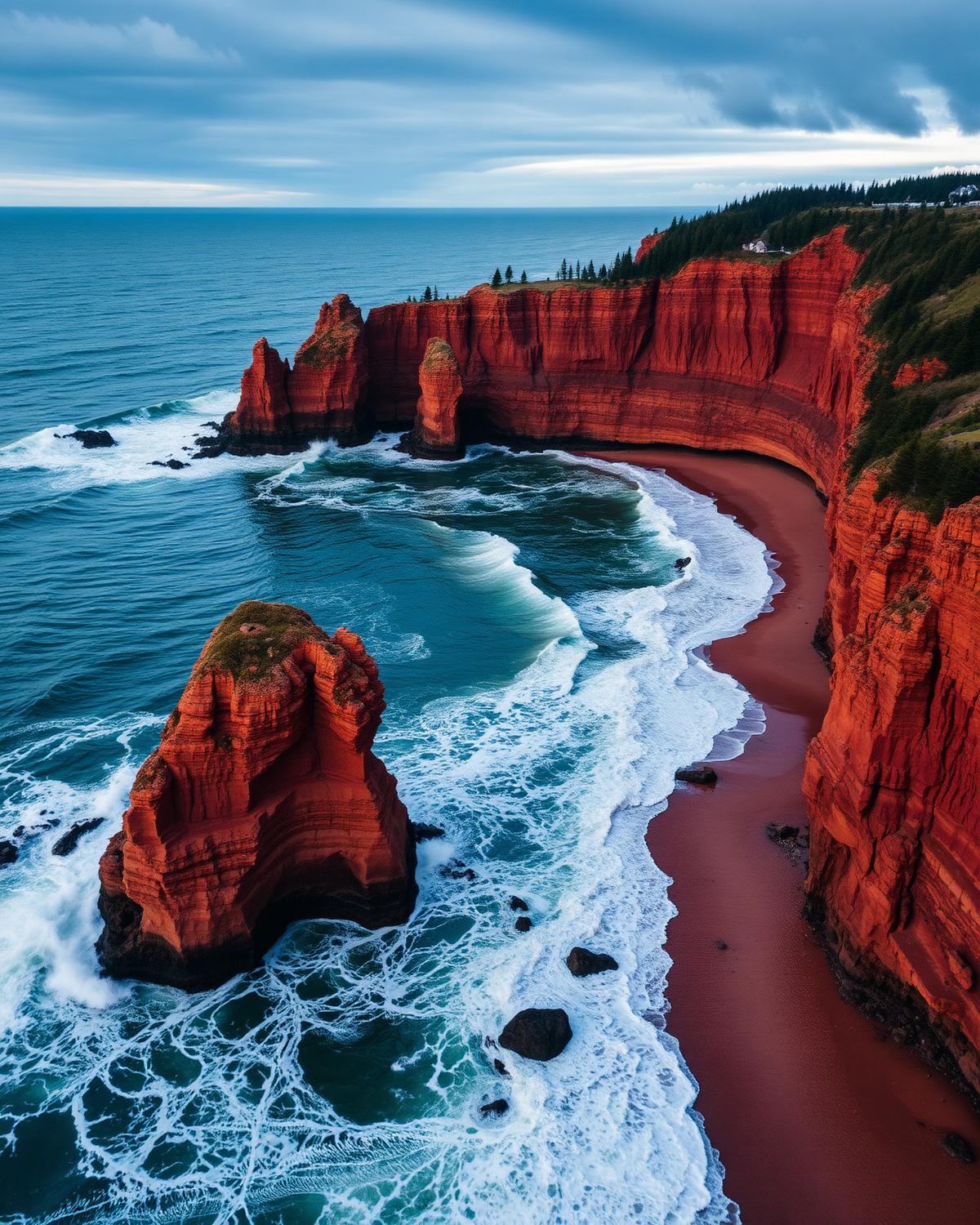
PEI Coastal Drive

Three signature loops around Canada's smallest province — beaches, lighthouses, and Anne of Green Gables.

The Points East, Central Coastal, and North Cape drives — red-sand cliffs, oyster villages, and PEI National Park.

Distance
700 km (three loops)
Duration
5 days
Season
May – October
  • PEI National Park red cliffs
  • Green Gables Heritage Place
  • Basin Head singing sands
  • Inn at Bay Fortune
Explore the route →
Alaska Highway (Canadian section)Route 17 / 30

British Columbia & Yukon

Alaska Highway (Canadian section)

The great WWII engineering feat — 1,900 km of northern British Columbia and the Yukon.

Dawson Creek to the Alaska border via Fort Nelson, Muncho Lake, Liard Hot Springs, and Whitehorse — bison, hot springs, and the Signpost Forest.

Distance
1,900 km (Dawson Creek → Whitehorse continuing to border)
Duration
7 days
Season
June – September
  • Mile 0 monument
  • Muncho Lake
  • Liard River Hot Springs
  • Signpost Forest
  • Kluane National Park icefields
Explore the route →
Pacific Rim HighwayRoute 18 / 30

British Columbia

Pacific Rim Highway

The road across Vancouver Island to Canada's Pacific edge.

Parksville to Tofino on Route 4 — Cathedral Grove, surf beaches, and the Pacific Rim National Park Reserve.

Distance
165 km
Duration
3 days
Season
May – October (storm-watching Nov–Feb)
  • Cathedral Grove
  • Long Beach
  • Pacific Rim National Park Reserve
  • Wickaninnish Beach
Explore the route →
Kananaskis Country LoopRoute 19 / 30

Alberta

Kananaskis Country Loop

Alberta's quieter Rockies — Highway 40 through the highest paved pass in Canada.

Canmore to Longview via Highway 40 and the Highwood Pass — alpine meadows, larch groves, and grizzly country half an hour from Calgary.

Distance
230 km
Duration
3 days
Season
June – mid-October (Highwood Pass closed Dec 1–Jun 14)
  • Highwood Pass
  • Peter Lougheed Provincial Park
  • Ptarmigan Cirque
  • Kananaskis Nordic Spa
Explore the route →
Trans-Canada RockiesRoute 20 / 30

British Columbia & Alberta

Trans-Canada Rockies

Four national parks in a single mountain crossing on the Trans-Canada.

Calgary to Revelstoke on Highway 1 through Banff, Yoho, Glacier, and Mount Revelstoke — the mainline Rockies drive.

Distance
530 km
Duration
5 days
Season
June – October
  • Lake Louise
  • Emerald Lake
  • Takakkaw Falls
  • Rogers Pass Discovery Centre
  • Meadows in the Sky Parkway
Explore the route →
Georgian Bay Coastal RouteRoute 21 / 30

Ontario

Georgian Bay Coastal Route

Ontario's freshwater coast — from the Bruce Peninsula to Killarney's white quartzite hills.

Collingwood to Killarney via Tobermory and Parry Sound — the world's largest freshwater archipelago, painted by the Group of Seven.

Distance
350 km
Duration
4 days
Season
May – October
  • Bruce Peninsula National Park (the Grotto)
  • Chi-Cheemaun ferry crossing
  • Killarney's LaCloche Mountains
  • Georgian Bay Islands National Park
Explore the route →
Thousand Islands ParkwayRoute 22 / 30

Ontario

Thousand Islands Parkway

A scenic parkway along the St. Lawrence past 1,864 islands and Canada's smallest national park.

Gananoque to Brockville — the free scenic alternative to the 401 through Thousand Islands National Park.

Distance
40 km
Duration
1–2 days
Season
May – October
  • 1000 Islands Cruise
  • Thousand Islands National Park
  • Skydeck
  • Boldt Castle (US side)
Explore the route →
Eastern Townships (Cantons-de-l'Est)Route 23 / 30

Québec

Eastern Townships (Cantons-de-l'Est)

Québec's wine and cheese country, on the Vermont border.

Bromont to North Hatley via Sutton, Magog, and Mont-Orford — Loyalist villages, monastic cheese, and Lake Memphrémagog.

Distance
300 km
Duration
4 days
Season
May – October (peak: late September foliage)
  • Abbaye Saint-Benoît-du-Lac blue cheese
  • Route des Vins
  • Mont-Orford National Park
  • Manoir Hovey
Explore the route →
Acadian Coastal DriveRoute 24 / 30

New Brunswick

Acadian Coastal Drive

The living coast of Acadian New Brunswick, from Shediac lobsters to Caraquet's tricolour villages.

Shediac to Campbellton via Bouctouche, Kouchibouguac National Park, and the Acadian Peninsula — French-speaking villages, warm-water beaches, and the world's largest lobster.

Distance
740 km
Duration
5 days
Season
June – September
  • Parlee Beach warm water
  • Kouchibouguac National Park
  • Village Historique Acadien
  • Dune de Bouctouche
Explore the route →
Dinosaur Trail (Alberta Badlands)Route 25 / 30

Alberta

Dinosaur Trail (Alberta Badlands)

The Alberta Badlands where the Cretaceous still lies open at the surface.

Drumheller loop via the Royal Tyrrell Museum, Horseshoe Canyon, and Dinosaur Provincial Park (UNESCO).

Distance
220 km
Duration
2–3 days
Season
April – October
  • Royal Tyrrell Museum
  • Horseshoe Canyon overlook
  • Dinosaur Provincial Park (UNESCO)
  • Atlas Coal Mine
Explore the route →
Saskatchewan Grasslands RouteRoute 26 / 30

Saskatchewan

Saskatchewan Grasslands Route

Canada's darkest sky, the last mixed-grass prairie, and bison at large.

Regina to Val Marie via Grasslands National Park and the Cypress Hills — dark-sky preserves, prairie coulees, and the T. rex fossil belt.

Distance
500 km
Duration
4 days
Season
May – September
  • Grasslands National Park bison herd
  • Cypress Hills Dark Sky Preserve
  • Scotty the T. rex (Eastend)
  • Fort Walsh NHS
Explore the route →
Manitoba Interlake RouteRoute 27 / 30

Manitoba

Manitoba Interlake Route

Icelandic Manitoba between two great lakes.

Winnipeg to Hecla Island via Gimli and Grand Beach — Nordic heritage, warm-water beaches, and Lake Winnipeg's fishing communities.

Distance
280 km
Duration
3 days
Season
May – September
  • Grand Beach Provincial Park
  • New Iceland Heritage Museum
  • Hecla/Grindstone Provincial Park
  • Grassy Narrows Marsh
Explore the route →
Ottawa Valley RouteRoute 28 / 30

Ontario

Ottawa Valley Route

The Ottawa River road that trades urban Ottawa for Algonquin's eastern gate.

Ottawa to Barry's Bay via Arnprior and Pembroke — the Ottawa River, Polish heritage villages, and the wild eastern approach to Algonquin.

Distance
230 km
Duration
3 days
Season
May – October (peak: fall colours late September)
  • Ottawa River whitewater rafting
  • Algonquin Provincial Park (Highway 60)
  • Bonnechere Caves
  • Wilno Polish heritage
Explore the route →
Irish LoopRoute 29 / 30

Newfoundland

Irish Loop

Newfoundland's southern shore where Irish accents survive and puffins arrive by the tens of thousands.

St. John's loop via Witless Bay, Ferryland, and Cape Race — puffins, icebergs, and a 17th-century Colony of Avalon dig.

Distance
320 km
Duration
2 days
Season
June – September (puffins Jun–Aug)
  • Witless Bay puffin colony
  • Colony of Avalon (Ferryland)
  • Cape Race lighthouse
  • Cape St. Mary's gannet cliffs
Explore the route →
Ingraham TrailRoute 30 / 30

Northwest Territories

Ingraham Trail

Yellowknife's back-door road to Precambrian lakes and canoe country.

Yellowknife to Tibbitt Lake — waterfalls, canoe-country lakes, and the Cameron Falls trail 50 km from the capital.

Distance
70 km
Duration
2 days
Season
May – October (winter ice road extends it to Tibbitt Lake)
  • Cameron Falls trail
  • Prelude Lake Territorial Park
  • Reid Lake campground
  • Tibbitt Lake ice-road terminus
Explore the route →

Plan the drive

Pair a route with a province.

Every great Canadian road trip starts with a region. Browse destinations to plan the stops either side of the highway.

Ready to go?

Not sure which drive is right? Let us build it for you.

Tell us when you'd like to travel, how many days you have, and what you most want to see. A Canadian trip designer will reply within one business day with a custom road trip plan — no obligation.

Plan this road trip with us →

Free consultation · Reply within 1 business day