
Try searching for
Cultural drive · New Brunswick
Fundy Coastal Drive
The world's highest tides, on a schedule you can plan a road trip around.
Overview
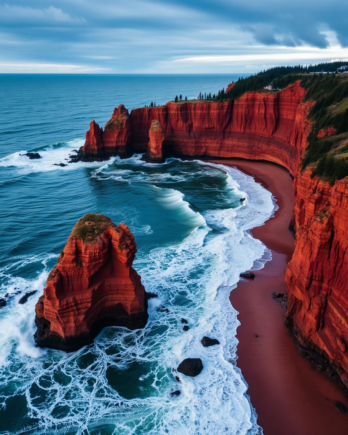
The Fundy Coastal Drive is a masterclass in timing. The Bay of Fundy rises and falls by up to sixteen metres twice a day — the highest tidal range on Earth — and every stop along this 460 km route is choreographed by the tide tables.
At Hopewell Rocks, you can walk the ocean floor among flowerpot formations at low tide, then kayak the same rocks at high tide four hours later. At Fundy National Park, the tides power waterfalls that run backward at the turn, and the coastal trails reveal entirely different landscapes depending on the hour.
The drive also passes through one of Canada's most charming small towns, St. Andrews-by-the-Sea, where the Algonquin Resort presides over Passamaquoddy Bay, and whale-watching operators run daily trips for finbacks, humpbacks, and the rare right whale.
Distance
460 km
St. Stephen → Aulac
Tidal range
up to 16 m
Highest on Earth
UNESCO sites
2
Joggins + Fundy Biosphere
Suggested days
5
4 if no Joggins detour
The route
From start to finish
An approximate path through 5 key waypoints along the drive.
Driving times
Leg by leg
385 km across 5 legs. Times exclude stops, ferries, and weather contingencies.
| # | From → To | Distance | Driving time | Notes |
|---|---|---|---|---|
| 01 | St. Stephen → Saint John | 110 km | 1h 20m | Reversing Falls |
| 02 | Saint John → Fundy NP | 130 km | 1h 40m | Sussex back-road shortcut |
| 03 | Fundy NP → Hopewell Rocks | 55 km | 1h 00m | Cape Enrage detour |
| 04 | Hopewell Rocks → Moncton | 40 km | 0h 40m | Petitcodiac tidal bore |
| 05 | Moncton → Aulac | 50 km | 0h 40m | Tantramar marshes |
| Total | 385 km | 5h+ | Drive time only |
Day by day
The itinerary
A suggested route designed to balance driving time with the stops that matter.
St. Stephen to Saint John
Start at the Canada-US border, follow the Chocolate Trail through St. Stephen, and explore the reversing falls at Saint John.
Fundy National Park
Hike the coastal trails, swim at Bennett Lake, and watch the Dickson Falls at their peak flow.
Hopewell Rocks & Moncton
Walk the ocean floor at low tide, kayak the formations at high tide, and surf the tidal bore on the Petitcodiac River.
Sackville & the Tantramar
Birdwatch at the Sackville Waterfowl Park, explore the Tantramar Marshes, and visit the Joggins Fossil Cliffs UNESCO site.
St. Andrews-by-the-Sea & Aulac
Whale-watch from St. Andrews, lunch at the Algonquin, and finish at Aulac where New Brunswick meets Nova Scotia.
When to drive
Month by month
Best window: May – October. Plan around shoulder months for fewer crowds at the cost of variable weather.
Budget
Three ways to drive it
Smart
$170–$260/ day
- Drive days
- 4–5
- Lodging
- Park cabins, motels
- Food
- Lobster pounds
- Experiences
- Self-walk Hopewell
Mid
$320–$520/ day
- Drive days
- 5
- Lodging
- Algonquin Resort, Fundy NP chalets
- Food
- Rossmount Inn dining
- Experiences
- Kayak Hopewell + tidal-bore raft
Premium
$700+/ day
- Drive days
- 5–6
- Lodging
- Algonquin Signature Suites
- Food
- Rossmount tasting menu
- Experiences
- Private whale charter + chef's table
Editorial picks
Where to stop, sleep, and eat
Lodging
Algonquin Resort
St. Andrews-by-the-Sea
Tudor-style 1889 grand hotel on the Passamaquoddy bluff.
Stop
Cape Enrage
Albert County
Lighthouse + zip-line on a 50 m cliff with the bay's biggest tidal swing.
Operator
Baymount Outdoor Adventures – Hopewell Kayak
Hopewell Rocks
Paddle between the flowerpots at high tide — only 4 daily slots.
Eat
Rossmount Inn
St. Andrews
Foraged Maritimes tasting menu in a country-house dining room.
Signature stops
Don't miss
Hopewell Rocks
St. Andrews-by-the-Sea
Fundy National Park
Cape Enrage
Before you go
The prep checklist.
Practical things to lock in before you leave the driveway.
- Plan every stop around the tide table — print the day's chart at the visitor centre.
- Hopewell Rocks needs at least one low tide AND one high tide to do justice.
- Carry binoculars — finbacks and humpbacks feed close to shore.
- Joggins Fossil Cliffs (NS side, 35-min detour) adds a third UNESCO highlight.
- Avoid the Petitcodiac tidal-bore river-surf on rainy days — visibility drops to zero.
Where this road leads
Related destinations
Good to know
Frequently
asked.
Practical answers from travellers who have driven this route.
- How do I read the tide tables for Hopewell Rocks?
- The park publishes daily tide times. Low tide exposes the flowerpot formations for walking; high tide is ideal for kayaking. Plan to visit at both tides if possible.
- What is a tidal bore?
- A wave that travels upriver against the current as the tide rises. The Petitcodiac River in Moncton has one of the most dramatic bores in North America, and you can surf it with a local operator.
- Are the coastal trails in Fundy National Park difficult?
- Most are moderate, with some steep sections near the cliffs. The Dickson Falls trail is short and accessible; the Matthews Head trail offers the best coastal views with a modest elevation gain.
Planning the bigger trip?
Read our full guide to Canadian road-trip itineraries.
Along this route
Parks, camps, and cities on the drive
Every place below is within a comfortable side-trip of the route waypoints — surfaced automatically from our national-park, provincial-park, campground, and city datasets.
Nearby national parks
Nearby provincial parks
Nearby campgrounds
Cities along the way
Curated trips
Related packages
Plan smarter
Related travel guides
Getting Around · 8 min
Getting Around Canada
Flights, trains, road trips, and ferries — how to cross the world's second-largest country.
Read guide →Planning & Permits · 6 min
National & Provincial Parks Pass Guide
How to use the Discovery Pass, when to book ahead, and the lesser-known parks that rival Banff without the crowds.
Read guide →What to Pack · 6 min
Packing by Season
A season-by-season packing list for a country that swings from -40°C in February to +35°C in July.
Read guide →Health & Safety · 7 min
Health, Wildlife & Safety
Travel insurance, wildlife encounters, and how to be safe in the backcountry.
Read guide →Keep exploring
Other road trips
New Brunswick
Acadian Coastal Drive
Shediac to Campbellton via Bouctouche, Kouchibouguac National Park, and the Acadian Peninsula — French-speaking villages, warm-water beaches, and the world's largest lobster.
Explore →Nova Scotia
Cabot Trail
A loop around Cape Breton's wild northern coast, with whale-watching, hikes, and lobster suppers.
Explore →Québec
Gaspé Peninsula
A grand loop around Québec's eastern peninsula where the St. Lawrence meets the open Atlantic.
Explore →Québec
Charlevoix & Saguenay Fjord
Québec City to Tadoussac via Baie-Saint-Paul and the Saguenay Fjord — art villages, whales, and cliffside auberges.
Explore →Time it right
Nearby events & festivals
Events along the Fundy Coastal Drive route — worth timing your trip around.
Ready to go?
Plan this road trip with us.
Tell us when you'd like to travel and what you're hoping to experience. A Canadian trip designer will reply within one business day with a custom itinerary built around "Fundy Coastal Drive" — no obligation, no pressure.
Free consultation · Reply within 1 business day