
Try searching for
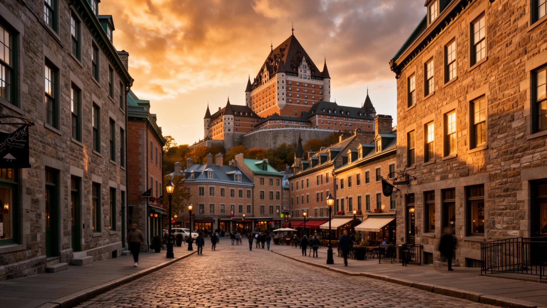
Cultural drive · Québec
Charlevoix & Saguenay Fjord
From Québec City through a UNESCO Biosphere to Canada's only true fjord.
Overview
The drive north from Québec City to Tadoussac is one of the great short road trips of eastern Canada. In 480 km it packs a UNESCO Biosphere Reserve (Charlevoix), Canada's only true fjord (the Saguenay), and one of the world's best land-based whale-watching sites — the confluence of the fjord and the St. Lawrence Estuary.
The route follows Route 138 along the north shore of the St. Lawrence, climbing into the rolling hills of Charlevoix, formed by a 400-million-year-old meteorite impact. Baie-Saint-Paul is the artistic heart — birthplace of Cirque du Soleil and home to more than 30 galleries. La Malbaie hosts the historic Fairmont Le Manoir Richelieu and a proper casino above the river.
At the mouth of the Saguenay Fjord, the free ferry at Baie-Sainte-Catherine crosses to Tadoussac. This is where beluga whales live year-round, where minkes, finbacks, and blue whales feed each summer, and where the fjord walls rise 350 m from the water. An optional loop up the fjord to Saguenay (Chicoutimi and L'Anse-Saint-Jean) doubles the trip length and rewards the extra day.
Distance
480 km
Québec City → Tadoussac → Saguenay loop
UNESCO
Charlevoix Biosphere
Meteorite-crater landscape
Suggested days
5
3 for QC → Tadoussac direct
Language
French primary
EN in tourist hubs
The route
From start to finish
An approximate path through 5 key waypoints along the drive.
Driving times
Leg by leg
570 km across 5 legs. Times exclude stops, ferries, and weather contingencies.
| # | From → To | Distance | Driving time | Notes |
|---|---|---|---|---|
| 01 | Québec City → Baie-Saint-Paul | 100 km | 1h 20m | Route 362 scenic option |
| 02 | Baie-Saint-Paul → La Malbaie | 55 km | 0h 55m | Isle-aux-Coudres detour |
| 03 | La Malbaie → Tadoussac (ferry) | 75 km | 1h 30m | Free Saguenay ferry, 10-min crossing |
| 04 | Tadoussac → Saguenay (Chicoutimi) | 130 km | 1h 45m | North-shore fjord road |
| 05 | Saguenay → Québec City | 210 km | 2h 30m | Route 175 through Jacques-Cartier NP |
| Total | 570 km | 8h+ | Drive time only |
Day by day
The itinerary
A suggested route designed to balance driving time with the stops that matter.
Québec City to Baie-Saint-Paul
Drive Route 362 (the scenic alternative), stop at Île d'Orléans wineries, and overnight in Baie-Saint-Paul at Le Germain Charlevoix.
Baie-Saint-Paul & Isle-aux-Coudres
Gallery-hop in Baie-Saint-Paul; take the free ferry to Isle-aux-Coudres for a bike loop and cider tasting.
La Malbaie & the Casino
Drive the coastal Route 362 to La Malbaie, tour Le Manoir Richelieu, and dine at Vices Versa or the Manoir dining room.
Tadoussac & whale watching
Cross the Saguenay ferry, base at the Hôtel Tadoussac, and take a zodiac whale-watching tour. Sunset at the sand dunes.
Saguenay Fjord loop
Drive the north shore of the fjord to Chicoutimi, cross south to L'Anse-Saint-Jean, and return via Route 170 — or head back south to Québec City.
When to drive
Month by month
Best window: May – October. Plan around shoulder months for fewer crowds at the cost of variable weather.
Budget
Three ways to drive it
Smart
$210–$320/ day
- Drive days
- 4–5
- Lodging
- SÉPAQ camping, auberges
- Food
- Boulangeries, fromageries
- Experiences
- Self-drive + Fjord day hikes
Mid
$380–$620/ day
- Drive days
- 5
- Lodging
- Le Germain Charlevoix, Hôtel Tadoussac
- Food
- Les Labours, Café Bohème
- Experiences
- Zodiac whale tour + Charlevoix flavour trail
Premium
$1,000+/ day
- Drive days
- 5–6
- Lodging
- Fairmont Le Manoir Richelieu, Auberge des 3 Canards
- Food
- Table du Manoir, Restaurant Chez Truchon
- Experiences
- Private whale charter + fjord cruise
Editorial picks
Where to stop, sleep, and eat
Lodging
Fairmont Le Manoir Richelieu
La Malbaie
1929 château on a cliff over the St. Lawrence — the definitive Charlevoix experience.
Stop
Baie-Sainte-Catherine → Tadoussac ferry
Saguenay Fjord mouth
Free 10-minute crossing where belugas often surface right beside the ferry.
Operator
Croisières AML — whale zodiac
Tadoussac
The largest local operator with the best time slots for zodiac (not big boats) trips.
Eat
Les Labours at Le Germain Charlevoix
Baie-Saint-Paul
Farm-to-table Charlevoix Flavour Trail restaurant in an old train station.
Signature stops
Don't miss
Baie-Saint-Paul galleries
Fairmont Le Manoir Richelieu
Tadoussac whale watching
Saguenay Fjord National Park
Before you go
The prep checklist.
Practical things to lock in before you leave the driveway.
- Take Route 362 (not 138) between Baie-Saint-Paul and La Malbaie for the coastal views.
- Expect 30–60 min ferry wait at Baie-Sainte-Catherine on July/August weekends.
- Book zodiac whale tours ahead — the popular 3 pm slots sell out.
- Le Manoir Richelieu books a year ahead for peak summer.
- Beluga calves are visible from shore at Cap-de-Bon-Désir any morning June–September.
Where this road leads
Related destinations
Good to know
Frequently
asked.
Practical answers from travellers who have driven this route.
- How long is the Saguenay ferry crossing?
- About 10 minutes and always free — it runs continuously in summer, roughly every 20 minutes. Expect a wait of 30–60 minutes on July and August weekends.
- When is the best time for whales?
- May through October, with peak whale variety in July, August, and September. Belugas are resident year-round; the blue whales are most reliable in late summer.
- Do I need French?
- Charlevoix is deeply francophone, but English is understood at all tourist accommodations. Learn a handful of French pleasantries — they are noticed and appreciated.
Planning the bigger trip?
Read our full guide to Canadian road-trip itineraries.
Along this route
Parks, camps, and cities on the drive
Every place below is within a comfortable side-trip of the route waypoints — surfaced automatically from our national-park, provincial-park, campground, and city datasets.
Nearby national parks
Nearby provincial parks
Cities along the way
Curated trips
Related packages
Travel styles
Related experiences
Luxury
Fairmont castles, wilderness lodges, and tasting menus framed by mountains and sea.
Explore →Food & Drink
Niagara wines, Atlantic lobster suppers, Montréal bagels, and Pacific oysters.
Explore →Road Trips
Scenic highways from coast to coast — Icefields Parkway to the Cabot Trail.
Explore →Cruises
Inside Passage glaciers, St. Lawrence whales, Great Lakes shorelines.
Explore →Plan smarter
Related travel guides
Getting Around · 8 min
Getting Around Canada
Flights, trains, road trips, and ferries — how to cross the world's second-largest country.
Read guide →What to Pack · 6 min
Packing by Season
A season-by-season packing list for a country that swings from -40°C in February to +35°C in July.
Read guide →Health & Safety · 7 min
Health, Wildlife & Safety
Travel insurance, wildlife encounters, and how to be safe in the backcountry.
Read guide →Money & Budget · 5 min
Money, Tipping & Daily Costs
How much to budget per day, how tipping really works, and where to get the best exchange rate.
Read guide →Keep exploring
Other road trips
Québec
Gaspé Peninsula
A grand loop around Québec's eastern peninsula where the St. Lawrence meets the open Atlantic.
Explore →Québec
Eastern Townships (Cantons-de-l'Est)
Bromont to North Hatley via Sutton, Magog, and Mont-Orford — Loyalist villages, monastic cheese, and Lake Memphrémagog.
Explore →New Brunswick
Fundy Coastal Drive
From St. Stephen to Aulac along the Bay of Fundy — sea stacks, whale watching, and tidal bores.
Explore →British Columbia
Vancouver Island Circle
Victoria to Port Hardy via Tofino — a full loop of the Pacific coast, old-growth forests, and orca waters.
Explore →Time it right
Nearby events & festivals
Events along the Charlevoix & Saguenay Fjord route — worth timing your trip around.
Ready to go?
Plan this road trip with us.
Tell us when you'd like to travel and what you're hoping to experience. A Canadian trip designer will reply within one business day with a custom itinerary built around "Charlevoix & Saguenay Fjord" — no obligation, no pressure.
Free consultation · Reply within 1 business day