
Try searching for
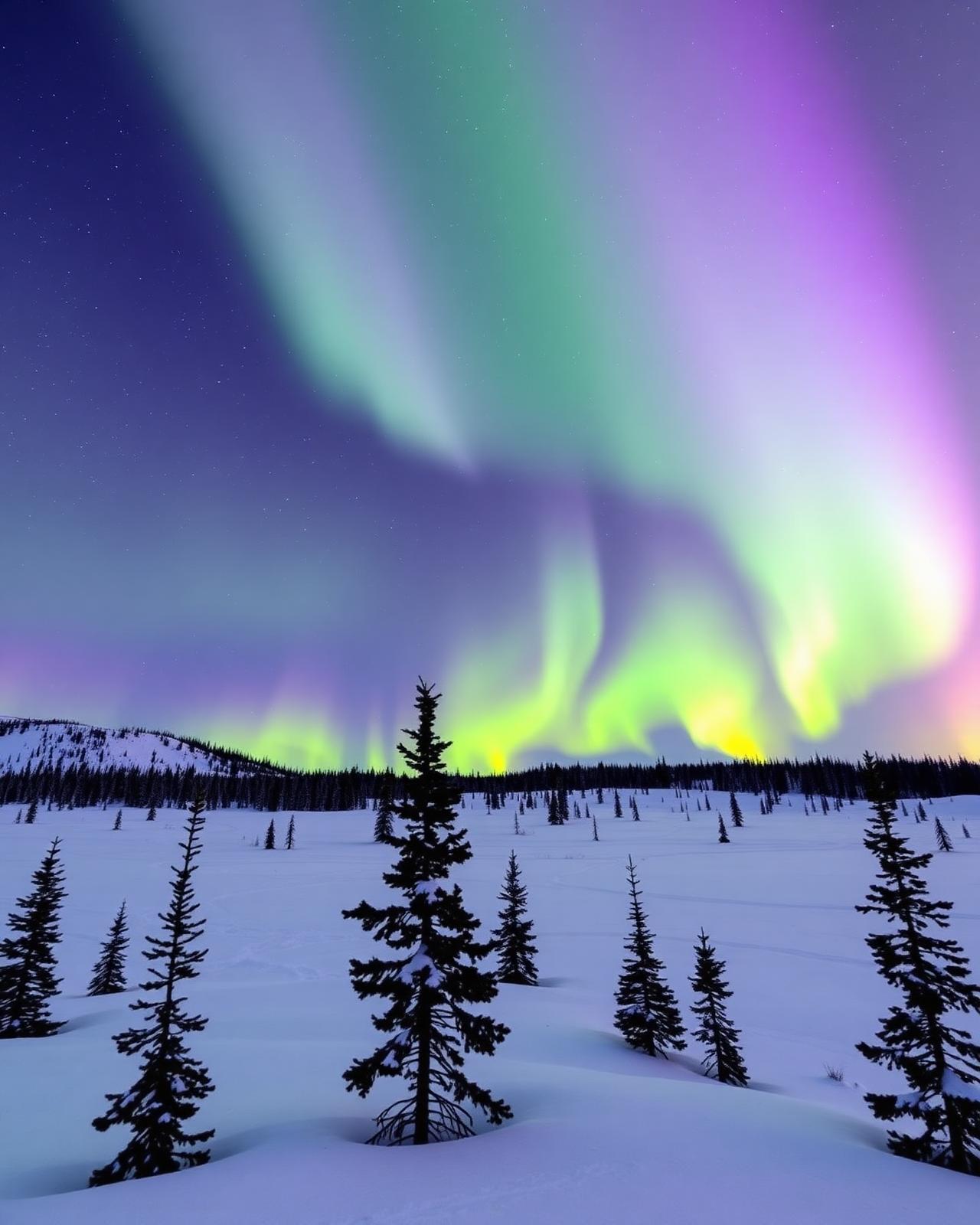
Wilderness drive · British Columbia & Yukon
Alaska Highway (Canadian section)
The great WWII engineering feat — 1,900 km of northern British Columbia and the Yukon.
Overview
The Alaska Highway is one of the epic drives of North America. Built in eight frantic months of 1942 as a wartime supply route, its Canadian section runs 1,900 km from Mile 0 in Dawson Creek, BC through the Muskwa-Kechika wilderness, past Muncho Lake, up over the Continental Divide, and through the Yukon to Whitehorse and the Alaskan border.
The BC section is where the wildlife lives — wood bison, stone sheep, black bears, and moose feed along the roadside from Fort Nelson to Watson Lake. Muncho Lake at km 700 is one of the most photographed spots on the highway, its jade water backed by the Sentinel Range. Liard River Hot Springs, 30 km beyond, is the highway's essential stop — steaming pools in an old-growth forest, open 24 hours.
The Yukon half is faster, easier driving. Watson Lake's Signpost Forest holds over 100,000 signs from travellers around the world (add your own). Whitehorse is the natural mid-point base — coffee at Baked Café, the SS Klondike sternwheeler on the Yukon River. Beyond Whitehorse, the highway continues through Haines Junction (with Kluane National Park's icefields on the western horizon), Destruction Bay, and Beaver Creek to the border. The full drive to Delta Junction, Alaska is 2,232 km.
Distance (CDN)
1,900 km
Dawson Creek → BC/YT border area
Surface
Fully paved
Frost heaves + chip seal repairs
Mile 0
Dawson Creek
1942 wartime construction start
Wildlife
Very high
Bison, stone sheep, bears, moose
The route
From start to finish
An approximate path through 9 key waypoints along the drive.
Driving times
Leg by leg
1565 km across 5 legs. Times exclude stops, ferries, and weather contingencies.
| # | From → To | Distance | Driving time | Notes |
|---|---|---|---|---|
| 01 | Dawson Creek → Fort Nelson | 460 km | 5h 15m | Boreal transition |
| 02 | Fort Nelson → Muncho Lake | 245 km | 3h 15m | Stone sheep + Steamboat Mtn |
| 03 | Muncho Lake → Watson Lake | 275 km | 3h 30m | Liard Hot Springs, bison herd |
| 04 | Watson Lake → Whitehorse | 430 km | 5h 00m | Teslin Tlingit centre |
| 05 | Whitehorse → Haines Junction | 155 km | 1h 45m | Kluane icefield horizon |
| Total | 1565 km | 18h+ | Drive time only |
Day by day
The itinerary
A suggested route designed to balance driving time with the stops that matter.
Dawson Creek to Fort Nelson
Photograph Mile 0 in Dawson Creek, then a long 460 km drive north through Fort St. John to Fort Nelson.
Fort Nelson to Muncho Lake
Wildlife-viewing day — stone sheep at Steamboat Mountain, wood bison in the valley, and camp or lodge at Muncho Lake.
Muncho Lake to Watson Lake
Soak at Liard Hot Springs in the morning, watch for buffalo, and cross into the Yukon at Contact Creek. Add your sign at the Signpost Forest.
Watson Lake to Whitehorse
Long 430 km drive west through Teslin (Tlingit heritage centre) to Whitehorse — the largest city between Edmonton and Fairbanks.
Whitehorse
SS Klondike, MacBride Museum, and Miles Canyon. Optional day-trip to Carcross and the Emerald Lake viewpoint on the South Klondike Highway.
Whitehorse to Haines Junction
Short 155 km drive west with Kluane's icefields on the horizon. Overnight at the Raven Hotel; hike the King's Throne trail.
Haines Junction to Beaver Creek / Alaska border
Continue northwest through Destruction Bay to Beaver Creek and the border — or return south to Whitehorse if not continuing into Alaska.
When to drive
Month by month
Best window: June – September. Plan around shoulder months for fewer crowds at the cost of variable weather.
Budget
Three ways to drive it
Smart
$240–$360/ day
- Drive days
- 6–7
- Lodging
- Provincial park camping, motels
- Food
- Diners + Signpost Forest café
- Experiences
- Liard Hot Springs (small fee)
Mid
$440–$700/ day
- Drive days
- 7
- Lodging
- Northern Rockies Lodge Muncho, Coast High Country Whitehorse
- Food
- Klondike Rib & Salmon, Antoinette's
- Experiences
- Yukon Wildlife Preserve + guided Kluane hike
Premium
$1,100+/ day
- Drive days
- 7–10
- Lodging
- Boréale Ranch, private lodges
- Food
- Wayfarer Whitehorse, chef-guided ranch meals
- Experiences
- Flightseeing Kluane icefield + private wildlife guide
Editorial picks
Where to stop, sleep, and eat
Stop
Liard River Hot Springs
Km 765, BC
Steaming pools in old-growth forest — the highway's essential stop, open 24/7.
Lodging
Northern Rockies Lodge
Muncho Lake
Log-hewn lakeside lodge with excellent food and floatplane trips over the Muskwa-Kechika.
Stop
Signpost Forest
Watson Lake
Over 100,000 signs from world travellers — bring one to add.
Eat
Wayfarer Oyster House
Whitehorse
Wild-caught West Coast oysters in the Yukon — proof of how good Whitehorse's food scene has become.
Signature stops
Don't miss
Mile 0 monument
Muncho Lake
Liard River Hot Springs
Signpost Forest
Kluane National Park icefields
Before you go
The prep checklist.
Practical things to lock in before you leave the driveway.
- Fuel every 200 km even where more is available — northern stations have variable hours.
- Wildlife on the road is constant — never drive at dusk faster than you can stop.
- Book Muncho Lake, Liard, and Whitehorse ahead in July (7–day peak).
- Chip-seal repair zones — keep 100 m back from other vehicles or expect windshield chips.
- Add 2–4 days to continue to Kluane National Park and Haines/Skagway.
Where this road leads
Related destinations
Good to know
Frequently
asked.
Practical answers from travellers who have driven this route.
- Is the highway paved?
- Yes — the entire Alaska Highway is now paved, though frost-heave sections in northern BC and the Yukon require slower driving. Chip-seal repair zones can throw stones — keep back from other vehicles.
- How much fuel should I carry?
- Stations are spaced 100–200 km apart along the highway itself, and most are reliable. A jerry can is not essential but wise for the Fort Nelson–Watson Lake stretch. Never let the tank drop below a quarter.
- Can I drive it as a shorter section?
- Yes — Fort Nelson to Whitehorse (about 1,200 km, 3–4 days) captures the essential wildlife and Yukon scenery. Or fly into Whitehorse and rent a car for the Yukon section only.
Planning the bigger trip?
Read our full guide to Canadian road-trip itineraries.
Along this route
Parks, camps, and cities on the drive
Every place below is within a comfortable side-trip of the route waypoints — surfaced automatically from our national-park, provincial-park, campground, and city datasets.
Cities along the way
Travel styles
Related experiences
Adventure
Glacier hikes, sea kayaking, and heli-skiing across two oceans and three mountain ranges.
Explore →Luxury
Fairmont castles, wilderness lodges, and tasting menus framed by mountains and sea.
Explore →Family Travel
Wildlife safaris, island ferries, and lodges designed for shared discovery.
Explore →Food & Drink
Niagara wines, Atlantic lobster suppers, Montréal bagels, and Pacific oysters.
Explore →Plan smarter
Related travel guides
Getting Around · 8 min
Getting Around Canada
Flights, trains, road trips, and ferries — how to cross the world's second-largest country.
Read guide →What to Pack · 6 min
Packing by Season
A season-by-season packing list for a country that swings from -40°C in February to +35°C in July.
Read guide →Money & Budget · 5 min
Money, Tipping & Daily Costs
How much to budget per day, how tipping really works, and where to get the best exchange rate.
Read guide →Connectivity · 4 min
Phones, SIMs & Connectivity
How to stay connected without a CAD $300 roaming bill.
Read guide →Keep exploring
Other road trips
British Columbia
Vancouver Island Circle
Victoria to Port Hardy via Tofino — a full loop of the Pacific coast, old-growth forests, and orca waters.
Explore →Alberta
Icefields Parkway
Lake Louise to Jasper through a corridor of glaciers, turquoise lakes, and roadside grizzlies.
Explore →British Columbia
Sea-to-Sky Highway
Vancouver to Whistler along the Howe Sound fjord — waterfalls, granite walls, and ocean on one side.
Explore →Alberta
Cowboy Trail (Highway 22)
Waterton Lakes to Mayerthorpe along Highway 22 — cattle country, foothills panoramas, and rodeo towns.
Explore →Time it right
Nearby events & festivals
Events along the Alaska Highway (Canadian section) route — worth timing your trip around.
Ready to go?
Plan this road trip with us.
Tell us when you'd like to travel and what you're hoping to experience. A Canadian trip designer will reply within one business day with a custom itinerary built around "Alaska Highway (Canadian section)" — no obligation, no pressure.
Free consultation · Reply within 1 business day