
Try searching for
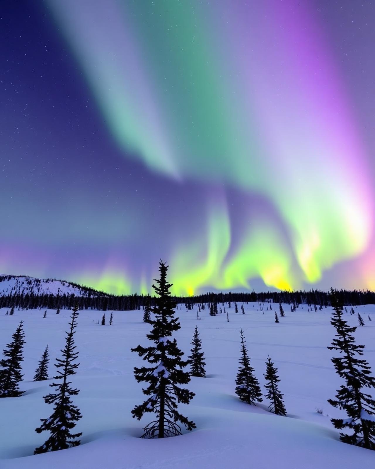
Wilderness drive · Northwest Territories
Ingraham Trail
Yellowknife's back-door road to Precambrian lakes and canoe country.
Overview
The Ingraham Trail is Yellowknife's only road east — 70 km of paved and gravel highway threading a chain of Precambrian Shield lakes past Prelude Lake, Hidden Lake, Reid Lake, and Cameron Falls, ending at Tibbitt Lake where the winter ice road to the diamond mines begins. It is the essential day-trip drive from the NWT capital.
The trail leaves Yellowknife via Highway 4 and enters classic canoe country almost immediately. Prelude Lake Territorial Park is the first stop — a busy summer swimming and camping lake with a boat launch. Cameron Falls, at km 47, is the highlight: a 20-minute walk to a boardwalk viewpoint of the falls on the Cameron River, with a longer trail to the top of the escarpment.
Beyond Cameron, the road turns to gravel and the campgrounds get quieter — Reid Lake is the last one with services. Tibbitt Lake, at km 70, marks the end of the paved road system in the entire NWT east of the Mackenzie. In winter, the ice road extends from Tibbitt north to the Ekati and Diavik diamond mines — closed to the public but visible on tours from Yellowknife.
Distance
70 km
Yellowknife → Tibbitt Lake
Surface
Paved 25 km + gravel
Passenger-car friendly summer
Season
May – October
Winter ice road extends further
Aurora
Late Aug – Apr
Bortle Class 1 skies
The route
From start to finish
An approximate path through 5 key waypoints along the drive.
Driving times
Leg by leg
75 km across 4 legs. Times exclude stops, ferries, and weather contingencies.
| # | From → To | Distance | Driving time | Notes |
|---|---|---|---|---|
| 01 | Yellowknife → Prelude Lake | 30 km | 0h 30m | End of pavement |
| 02 | Prelude Lake → Cameron Falls | 20 km | 0h 25m | 20-min walk to falls |
| 03 | Cameron Falls → Reid Lake | 10 km | 0h 15m | Last serviced campground |
| 04 | Reid Lake → Tibbitt Lake | 15 km | 0h 20m | Ice-road terminus |
| Total | 75 km | 1h+ | Drive time only |
Day by day
The itinerary
A suggested route designed to balance driving time with the stops that matter.
Yellowknife to Cameron Falls
Drive the trail with stops at Prelude Lake and Hidden Lake, hike to Cameron Falls; overnight at Reid Lake campground or return to Yellowknife.
Tibbitt Lake & the ice-road terminus
Continue to Tibbitt Lake, walk to the ice-road launch, return to Yellowknife via Cameron for a longer hike.
When to drive
Month by month
Best window: May – October (winter ice road extends it to Tibbitt Lake). Plan around shoulder months for fewer crowds at the cost of variable weather.
Budget
Three ways to drive it
Smart
$220–$340/ day
- Drive days
- 1–2
- Lodging
- Territorial park camping, Yellowknife hostels
- Food
- Groceries + Yellowknife diners
- Experiences
- Self-drive + Cameron Falls hike
Mid
$400–$650/ day
- Drive days
- 2
- Lodging
- Explorer Hotel Yellowknife, Blachford Lake Lodge day-trip
- Food
- Bullocks Bistro, Wildcat Café
- Experiences
- Aurora tour + canoe rental
Premium
$1,000+/ day
- Drive days
- 2–3
- Lodging
- Blachford Lake Lodge overnight, private aurora chalets
- Food
- Blachford full board
- Experiences
- Fly-in wilderness lodge + private aurora photographer
Editorial picks
Where to stop, sleep, and eat
Stop
Cameron Falls
Km 47
20-minute forest walk to a boardwalk viewpoint of a Canadian Shield waterfall.
Lodging
Prelude Lake territorial campground
Km 30
First and busiest campground — beach, boat launch, dark skies.
Operator
Aurora Village
Ingraham Trail area
Purpose-built aurora-viewing camp with heated teepees and photographer support.
Eat
Bullocks Bistro
Yellowknife
Fresh Great Slave Lake fish in Old Town — the essential pre-drive meal.
Signature stops
Don't miss
Cameron Falls trail
Prelude Lake Territorial Park
Reid Lake campground
Tibbitt Lake ice-road terminus
Before you go
The prep checklist.
Practical things to lock in before you leave the driveway.
- Fill up in Yellowknife — no fuel on the trail itself.
- Carry bear spray for any hike off the pavement.
- Aurora forecasting: aurorawatch.ca and Auroral Kp index.
- Cell coverage vanishes past Prelude Lake — carry a paper map.
- The ice road to Tibbitt-to-Contwoyto (diamond mines) is closed to the public.
Where this road leads
Related destinations
Good to know
Frequently
asked.
Practical answers from travellers who have driven this route.
- Is the trail paved?
- The first 25 km (to Prelude Lake) is paved; the rest is gravel in reasonable summer condition. Regular passenger cars handle it without issue in dry weather.
- Best time to drive it?
- August for reliable dry weather and the last of the bugs; September for autumn colours in the Shield birch and aspen. Aurora is visible late August through April on clear nights.
- Can I drive the winter ice road?
- No — the ice road north from Tibbitt to the diamond mines is closed to the public and requires industrial escorts. Yellowknife guides run ice-road-adjacent tours in season.
Planning the bigger trip?
Read our full guide to Canadian road-trip itineraries.
Along this route
Parks, camps, and cities on the drive
Every place below is within a comfortable side-trip of the route waypoints — surfaced automatically from our national-park, provincial-park, campground, and city datasets.
Nearby campgrounds
Cities along the way
Travel styles
Related experiences
Plan smarter
Related travel guides
Getting Around · 8 min
Getting Around Canada
Flights, trains, road trips, and ferries — how to cross the world's second-largest country.
Read guide →Getting Around · 7 min
Winter Driving in Canada
Snow tires, mountain passes, what to keep in your trunk, and when to stay off the highway entirely.
Read guide →What to Pack · 6 min
Packing by Season
A season-by-season packing list for a country that swings from -40°C in February to +35°C in July.
Read guide →Money & Budget · 5 min
Money, Tipping & Daily Costs
How much to budget per day, how tipping really works, and where to get the best exchange rate.
Read guide →Keep exploring
Other road trips
Yukon & NWT
Dempster Highway
Dawson City to Inuvik — a wilderness drive through the Tombstone Range and across the Arctic Circle.
Explore →Alberta
Icefields Parkway
Lake Louise to Jasper through a corridor of glaciers, turquoise lakes, and roadside grizzlies.
Explore →Ontario
Lake Superior Circle Tour
Sault Ste. Marie to Thunder Bay on Highway 17 — through Lake Superior Provincial Park, Pukaskwa, and the Group of Seven's landscape.
Explore →Nova Scotia
Cabot Trail
A loop around Cape Breton's wild northern coast, with whale-watching, hikes, and lobster suppers.
Explore →Ready to go?
Plan this road trip with us.
Tell us when you'd like to travel and what you're hoping to experience. A Canadian trip designer will reply within one business day with a custom itinerary built around "Ingraham Trail" — no obligation, no pressure.
Free consultation · Reply within 1 business day