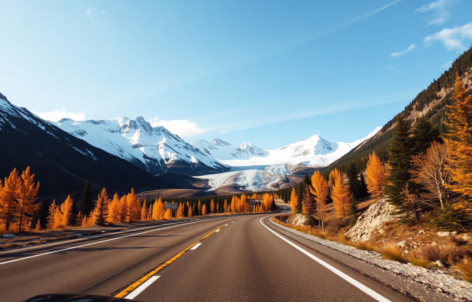
232 km · 3 days
Icefields Parkway
Meilleure saison : May – October. The most scenic drive in the world, according to almost everyone who's done it.

Try searching for
Sur la route
Les distances, durées et saisons indiquées sont des estimations. Vérifiez l'état des routes, les traversiers et les fermetures saisonnières avant de partir.
Conduire au Canada
Les trajets se comptent en heures, pas en kilomètres. Prévoyez des journées de conduite plus courtes que prévu et des arrêts fréquents.
Plusieurs routes de montagne et du Nord ferment ou deviennent difficiles hors saison. Pneus d'hiver obligatoires sur certains axes.
Dans le Nord et les Prairies, faites le plein dès que vous le pouvez : les stations peuvent être espacées de centaines de kilomètres.
Région
232 km · 3 days
Meilleure saison : May – October. The most scenic drive in the world, according to almost everyone who's done it.

640 km · 5 days
Meilleure saison : May – October. The foothills highway where the Rockies meet the ranchlands of the Old West.

230 km · 3 days
Meilleure saison : June – mid-October (Highwood Pass closed Dec 1–Jun 14). Alberta's quieter Rockies — Highway 40 through the highest paved pass in Canada.

220 km · 2–3 days
Meilleure saison : April – October. The Alberta Badlands where the Cretaceous still lies open at the surface.

≈ 560 km (est.) · 4 days
Meilleure saison : June – September. Where the grassland stops and the mountains start, with nothing in between.

≈ 235 km (est.) · 2 days
Meilleure saison : June – September. The Rockies without the queue for parking.
Région
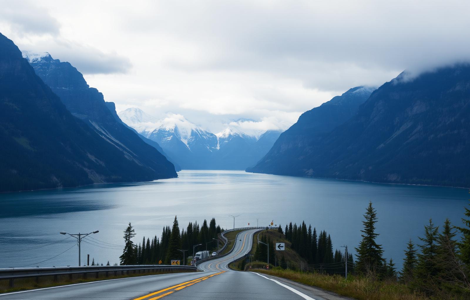
121 km (Vancouver–Whistler) · 2 days
Meilleure saison : Year-round. From cruise-ship harbour to ski-town gondola in a single, cinematic afternoon.
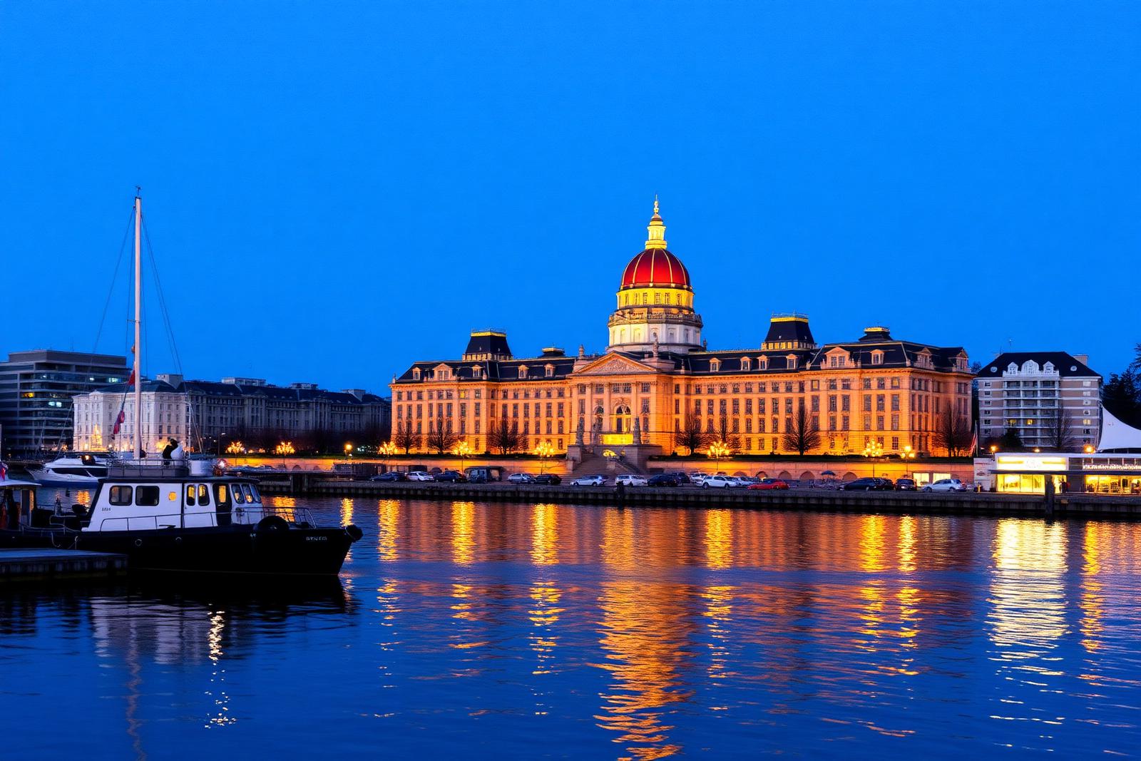
1,050 km · 8 days
Meilleure saison : May – October. Two coasts, one island — from British garden capital to storm-battered surf beaches.
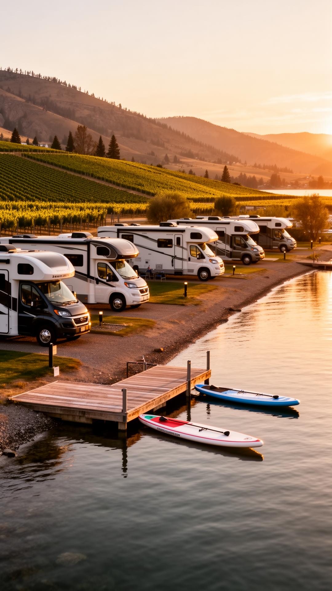
260 km · 4 days
Meilleure saison : April – October. Canada's most concentrated wine country, wrapped around a chain of warm lakes.

165 km · 3 days
Meilleure saison : May – October (storm-watching Nov–Feb). The road across Vancouver Island to Canada's Pacific edge.

≈ 240 km driving (est.) + two ferry crossings · 4 days
Meilleure saison : May – October. A coastline you can only reach by boat, forty minutes from downtown Vancouver.

≈ 720 km (est.) · 6 days
Meilleure saison : June – October. Mountain passes, silver-rush towns and a soak at the end of every day.

≈ 480 km (est.) · 4 days
Meilleure saison : May – October. Follow the river that built British Columbia, one canyon wall at a time.

≈ 220 km driving (est.) + ferry or flight · 6 days
Meilleure saison : May – September. An archipelago at the edge of the map, reached by an overnight crossing.
Région

1,160 km · 7 days
Meilleure saison : May – October. The quieter southern alternative to the Trans-Canada — Rockies, wineries, and ghost towns.

530 km · 5 days
Meilleure saison : June – October. Four national parks in a single mountain crossing on the Trans-Canada.
Région

1,900 km (Dawson Creek → Whitehorse continuing to border) · 7 days
Meilleure saison : June – September. The great WWII engineering feat — 1,900 km of northern British Columbia and the Yukon.
Région

280 km · 3 days
Meilleure saison : May – September. Icelandic Manitoba between two great lakes.

≈ 620 km (est.) · 4 days
Meilleure saison : May – October. An island of forest and bison rising straight out of the wheat.
Région
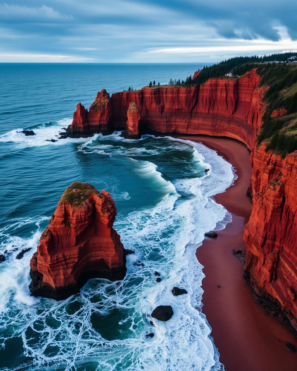
460 km · 5 days
Meilleure saison : May – October. The world's highest tides, on a schedule you can plan a road trip around.

740 km · 5 days
Meilleure saison : June – September. The living coast of Acadian New Brunswick, from Shediac lobsters to Caraquet's tricolour villages.
Région

489 km · 6 days
Meilleure saison : June – September. From a UNESCO geological wonder to the only confirmed Norse settlement in North America.

320 km · 2 days
Meilleure saison : June – September (puffins Jun–Aug). Newfoundland's southern shore where Irish accents survive and puffins arrive by the tens of thousands.

≈ 480 km (est.) · 4 days
Meilleure saison : June – September. Puffins, icebergs and outport Newfoundland at its most photogenic.
Région

70 km · 2 days
Meilleure saison : May – October (winter ice road extends it to Tibbitt Lake). Yellowknife's back-door road to Precambrian lakes and canoe country.
Région
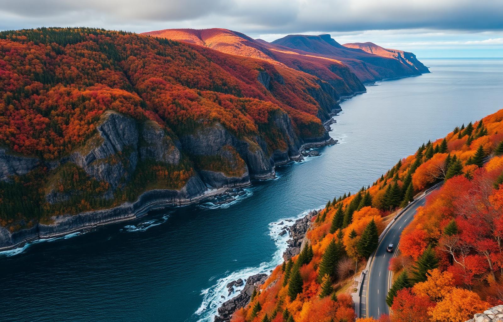
298 km · 4 days
Meilleure saison : June – October. Where the Highlands meet the Atlantic, and Celtic music spills out of every pub.

≈ 400 km (est.) · 4 days
Meilleure saison : May – October. Orchards, tidal bores and the highest tides on Earth.

≈ 340 km (est.) · 3 days
Meilleure saison : May – October. Peggy's Cove, Lunenburg and every fishing harbour in between.
Région
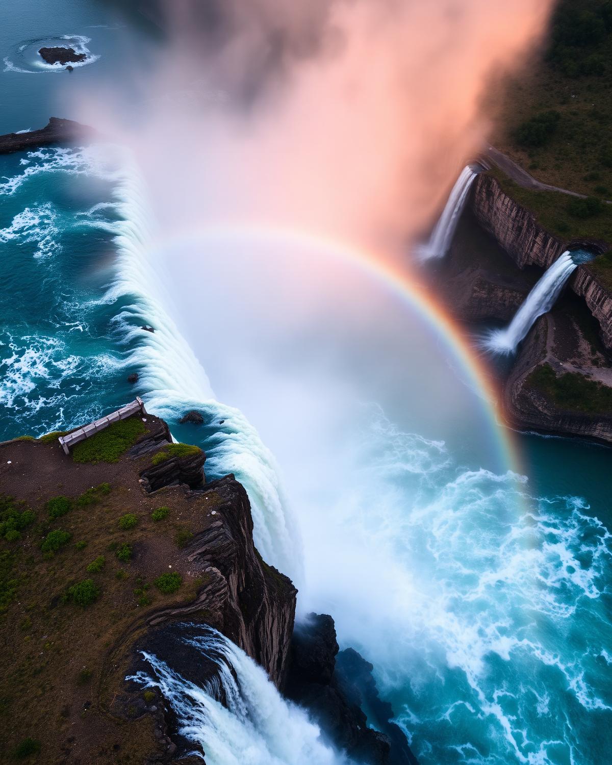
55 km · 1 day
Meilleure saison : April – November. Winston Churchill called it the prettiest Sunday afternoon drive in the world.

710 km (Ontario shore) · 6 days
Meilleure saison : June – early October. The wild north shore of the world's largest freshwater lake.

350 km · 4 days
Meilleure saison : May – October. Ontario's freshwater coast — from the Bruce Peninsula to Killarney's white quartzite hills.

40 km · 1–2 days
Meilleure saison : May – October. A scenic parkway along the St. Lawrence past 1,864 islands and Canada's smallest national park.

230 km · 3 days
Meilleure saison : May – October (peak: fall colours late September). The Ottawa River road that trades urban Ottawa for Algonquin's eastern gate.

≈ 430 km (est.) · 3 days
Meilleure saison : Late September – mid October. The best three weeks of the Ontario year, driven end to end.

≈ 640 km (est.) + one ferry · 5 days
Meilleure saison : June – September. Caribbean water, limestone cliffs and the world's largest freshwater island.

≈ 380 km (est.) · 3 days
Meilleure saison : May – October. Canada's warmest growing season, one tasting room at a time.

≈ 720 km (est.) · 5 days
Meilleure saison : June – September. Thunder Bay to the Manitoba line, through more lakes than you can count.
Région

≈ 2,100 km (est.) · 14 days
Meilleure saison : June – early October. Four provinces, three languages of hospitality, one continuous road.
Région
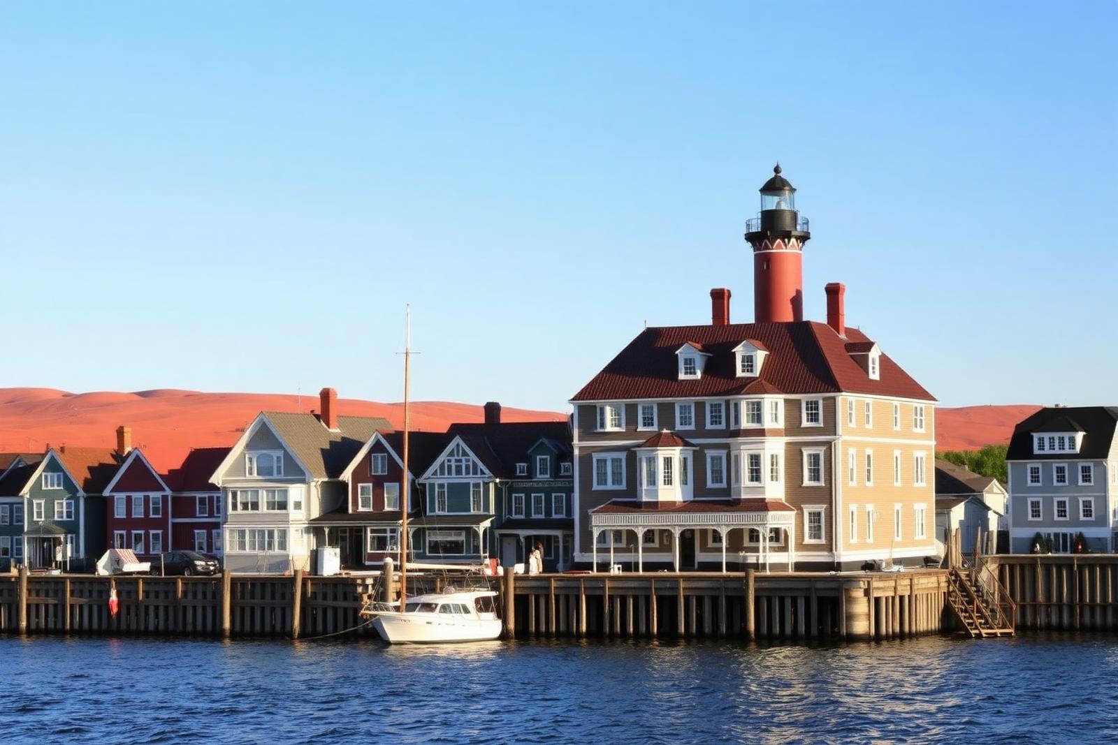
700 km (three loops) · 5 days
Meilleure saison : May – October. Three signature loops around Canada's smallest province — beaches, lighthouses, and Anne of Green Gables.
Région
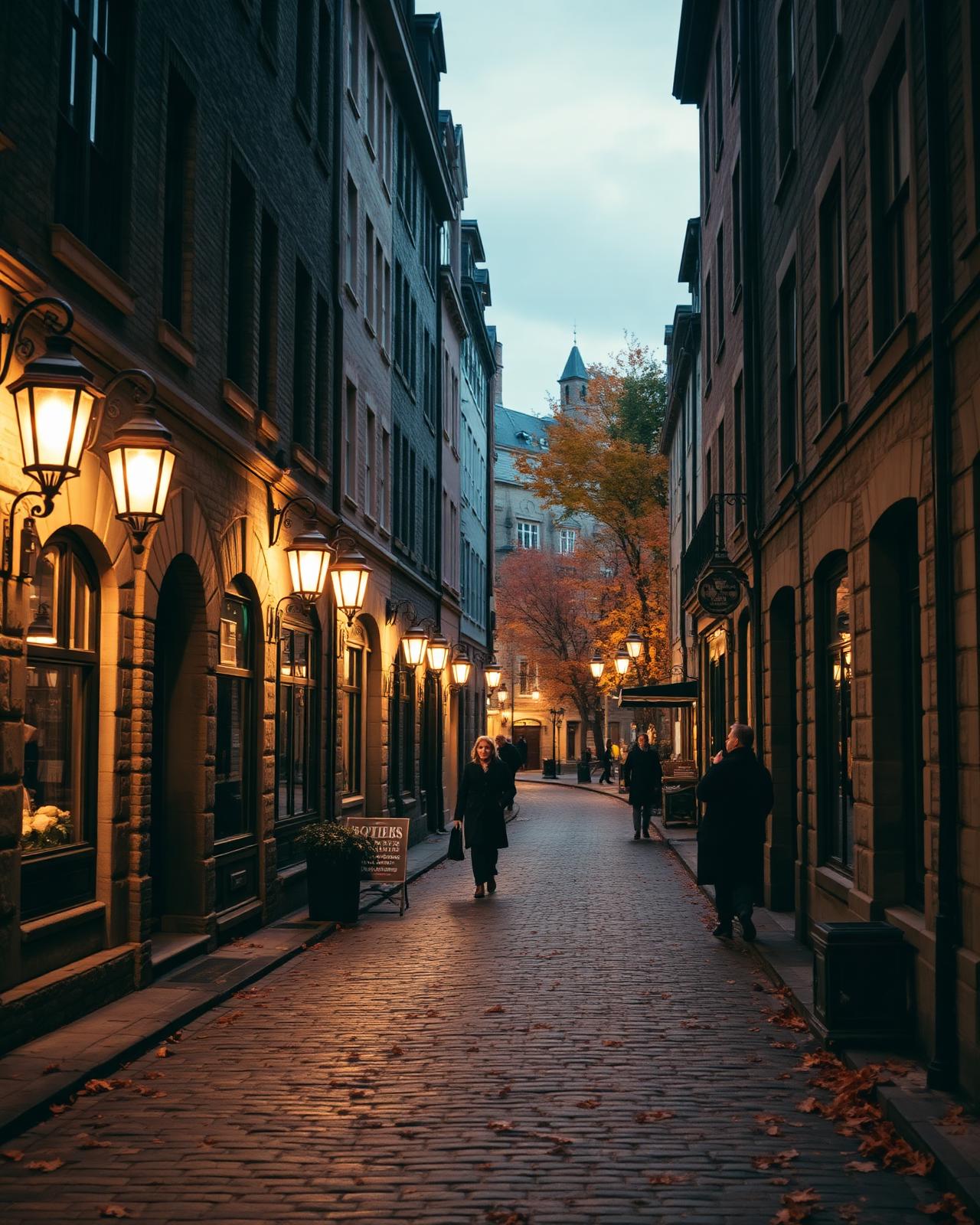
885 km · 7 days
Meilleure saison : June – September. A French-speaking coastline of fishing villages, sea cliffs, and lighthouse-flecked headlands.
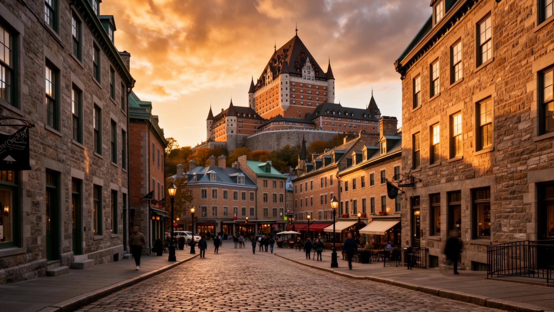
480 km · 5 days
Meilleure saison : May – October. From Québec City through a UNESCO Biosphere to Canada's only true fjord.

300 km · 4 days
Meilleure saison : May – October (peak: late September foliage). Québec's wine and cheese country, on the Vermont border.

≈ 700 km (est.) · 6 days
Meilleure saison : June – September. Follow Route 138 until the road runs out.

≈ 320 km (est.) · 3 days
Meilleure saison : Year-round. An hour from Montréal, and a different century.

≈ 360 km (est.) · 4 days
Meilleure saison : June – October. The south shore, where the river becomes the sea.
Région

500 km · 4 days
Meilleure saison : May – September. Canada's darkest sky, the last mixed-grass prairie, and bison at large.

≈ 700 km (est.) · 5 days
Meilleure saison : June – September. The prairie province nobody pictures: granite, pine and a thousand lakes.
Région

≈ 700 km (est.) · 5 days
Meilleure saison : June – September. The gold-rush route, from a coastal port over the pass to the Klondike.
Région

127 km · 2 days
Meilleure saison : Late May – mid-September. A ridge-top gravel road from Dawson City to Alaska — closed half the year, surreal the other half.
Région

740 km · 6 days
Meilleure saison : Late June – early September. Gravel, tundra, and the only public road in Canada that crosses the Arctic Circle.