
Try searching for
Cultural drive · Newfoundland
Viking Trail
From a UNESCO geological wonder to the only confirmed Norse settlement in North America.
Overview
The Viking Trail (Route 430) runs 489 km from Deer Lake on the Trans-Canada Highway to L'Anse aux Meadows at the northern tip of Newfoundland. In between sit two UNESCO World Heritage Sites: Gros Morne National Park, where the Earth's mantle is exposed at the surface, and the thousand-year-old Norse settlement of L'Anse aux Meadows.
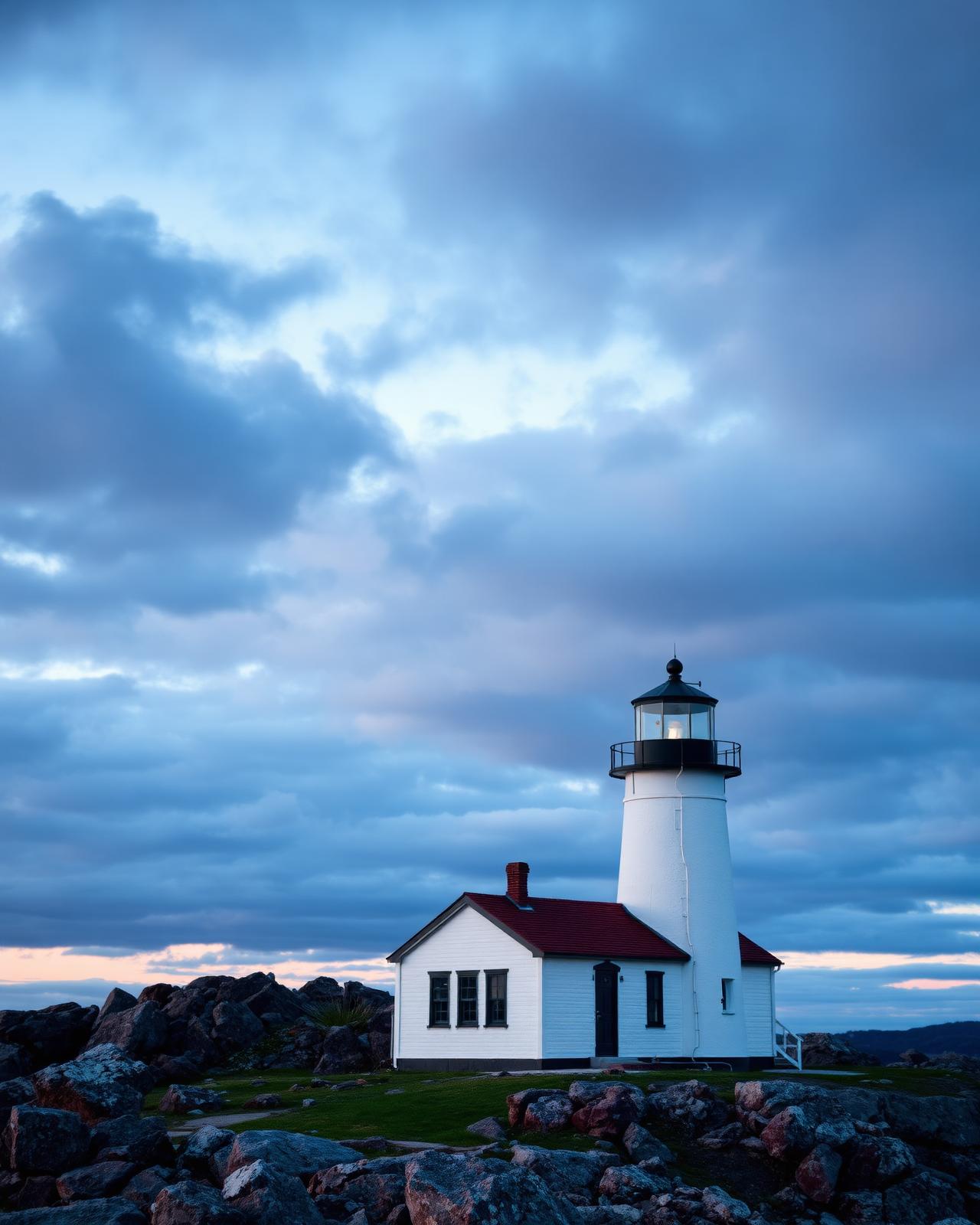
The trail is named for the Norse explorers who reached this coast around the year 1000 — five centuries before Columbus. Their reconstructed sod longhouses at L'Anse aux Meadows are the climax of the drive, but the journey itself is what makes the trip. Gros Morne National Park, at the southern end, is one of the geological wonders of the world: the Tablelands expose ancient ocean crust and mantle, weathered to a Mars-orange that nothing else on the route prepares you for.
North of Gros Morne, the road follows a wild coast of fishing villages — Cow Head, Daniel's Harbour, Port aux Choix (with its archaeological museum of indigenous Maritime Archaic and Dorset peoples), and St. Anthony, the regional hub. Icebergs drift past in early summer; whales feed offshore through August. Distances feel longer than they look — budget extra time, and never skip the Tablelands hike or the Western Brook Pond fjord boat tour.
Distance
489 km
Deer Lake → L'Anse aux Meadows
UNESCO sites
2
Gros Morne + L'Anse aux Meadows
Surface
Fully paved
Route 430
Iceberg season
Late May–early Jul
St. Anthony coast
The route
From start to finish
An approximate path through 3 key waypoints along the drive.
Driving times
Leg by leg
490 km across 4 legs. Times exclude stops, ferries, and weather contingencies.
| # | From → To | Distance | Driving time | Notes |
|---|---|---|---|---|
| 01 | Deer Lake → Rocky Harbour | 70 km | 0h 55m | Gros Morne south gate |
| 02 | Rocky Harbour → Port au Choix | 175 km | 2h 15m | Arches PP detour |
| 03 | Port au Choix → St. Anthony | 215 km | 2h 45m | Bog plateau |
| 04 | St. Anthony → L'Anse aux Meadows | 30 km | 0h 30m | Final coastal stretch |
| Total | 490 km | 6h+ | Drive time only |
Day by day
The itinerary
A suggested route designed to balance driving time with the stops that matter.
Deer Lake to Rocky Harbour
Pick up your rental at Deer Lake airport, drive 70 km into Gros Morne, and settle in Rocky Harbour for two nights.
Gros Morne National Park
Hike the Tablelands and take the Western Brook Pond boat tour through a freshwater fjord with 600-metre cliffs.
Rocky Harbour to Port au Choix
Continue north along the Gulf coast, stop at the Arches Provincial Park, and tour the Port au Choix archaeological site.
Port au Choix to St. Anthony
Cross the bog plateau to St. Anthony, the regional capital, and watch for icebergs from Fishing Point in June and early July.
L'Anse aux Meadows
Spend a full day at the Norse UNESCO site — reconstructed longhouses, costumed interpreters, and the rugged coast where Leif Erikson landed.
Return to Deer Lake
Drive the trail in reverse, with a final night in Rocky Harbour or a direct push south to Corner Brook for your flight out.
When to drive
Month by month
Best window: June – September. Plan around shoulder months for fewer crowds at the cost of variable weather.
Budget
Three ways to drive it
Smart
$200–$300/ day
- Drive days
- 5–6
- Lodging
- Gros Morne cabins, B&Bs
- Food
- Fish & chip houses
- Experiences
- Tablelands hike + free visitor centres
Mid
$360–$580/ day
- Drive days
- 6
- Lodging
- Ocean View Hotel, Tuckamore Lodge
- Food
- Sugar Hill Inn, Norseman Restaurant
- Experiences
- Western Brook Pond fjord tour + Norse site
Premium
$900+/ day
- Drive days
- 6–7
- Lodging
- Tuckamore Lodge full-board, Fishers' Loft
- Food
- Sugar Hill Inn tasting menu
- Experiences
- Private archaeology tour + iceberg charter
Editorial picks
Where to stop, sleep, and eat
Operator
Western Brook Pond Boat Tour
Gros Morne NP
2-hour cruise through a 16-km freshwater fjord with 700 m cliffs.
Lodging
Tuckamore Lodge
Main Brook
Wilderness lodge with private guides for L'Anse aux Meadows and the boreal interior.
Stop
Norstead Viking Village
L'Anse aux Meadows
Living-history complement to the Parks Canada UNESCO site, 2 km away.
Eat
The Norseman Restaurant
L'Anse aux Meadows
Oceanfront dining with Newfoundland seafood and Viking-era pairings.
Signature stops
Don't miss
Gros Morne National Park
Western Brook Pond fjord
Port au Choix archaeology
L'Anse aux Meadows UNESCO site
Before you go
The prep checklist.
Practical things to lock in before you leave the driveway.
- Book the Western Brook Pond boat 2+ weeks ahead in July.
- Check icebergfinder.com before committing to St. Anthony for iceberg season.
- Pack rain shells — Gros Morne weather changes in minutes.
- Rent at Deer Lake, not St. John's — saves 13+ hours of driving.
- Build a buffer day for fog at L'Anse aux Meadows.
Where this road leads
Related destinations
Good to know
Frequently
asked.
Practical answers from travellers who have driven this route.
- Is the Viking Trail paved?
- Yes — Route 430 is fully paved and well-maintained the entire way. It is a comfortable drive in any rental car.
- When can I see icebergs?
- Late May through early July is peak iceberg season along the northern coast. St. Anthony and Twillingate are the best viewing points; check icebergfinder.com before you go.
- Can I extend to Labrador?
- Yes — a ferry runs from St. Barbe to Blanc-Sablon, Quebec, with road access into southern Labrador and the Trans-Labrador Highway. Allow at least three extra days for a meaningful Labrador detour.
Planning the bigger trip?
Read our full guide to Canadian road-trip itineraries.
Along this route
Parks, camps, and cities on the drive
Every place below is within a comfortable side-trip of the route waypoints — surfaced automatically from our national-park, provincial-park, campground, and city datasets.
Nearby national parks
Nearby provincial parks
Curated trips
Related packages
Travel styles
Related experiences
Adventure
Glacier hikes, sea kayaking, and heli-skiing across two oceans and three mountain ranges.
Explore →Luxury
Fairmont castles, wilderness lodges, and tasting menus framed by mountains and sea.
Explore →Wildlife
Orcas in the Salish Sea, polar bears in Churchill, puffins on the Atlantic cliffs.
Explore →National Parks
Wonders without end, from Pacific Rim to Torngat — Canada's protected lands.
Explore →Plan smarter
Related travel guides
Getting Around · 8 min
Getting Around Canada
Flights, trains, road trips, and ferries — how to cross the world's second-largest country.
Read guide →What to Pack · 6 min
Packing by Season
A season-by-season packing list for a country that swings from -40°C in February to +35°C in July.
Read guide →Money & Budget · 5 min
Money, Tipping & Daily Costs
How much to budget per day, how tipping really works, and where to get the best exchange rate.
Read guide →Connectivity · 4 min
Phones, SIMs & Connectivity
How to stay connected without a CAD $300 roaming bill.
Read guide →Keep exploring
Other road trips
Newfoundland
Irish Loop
St. John's loop via Witless Bay, Ferryland, and Cape Race — puffins, icebergs, and a 17th-century Colony of Avalon dig.
Explore →Nova Scotia
Cabot Trail
A loop around Cape Breton's wild northern coast, with whale-watching, hikes, and lobster suppers.
Explore →Québec
Gaspé Peninsula
A grand loop around Québec's eastern peninsula where the St. Lawrence meets the open Atlantic.
Explore →New Brunswick
Fundy Coastal Drive
From St. Stephen to Aulac along the Bay of Fundy — sea stacks, whale watching, and tidal bores.
Explore →Ready to go?
Plan this road trip with us.
Tell us when you'd like to travel and what you're hoping to experience. A Canadian trip designer will reply within one business day with a custom itinerary built around "Viking Trail" — no obligation, no pressure.
Free consultation · Reply within 1 business day