
Why Canada — and why now
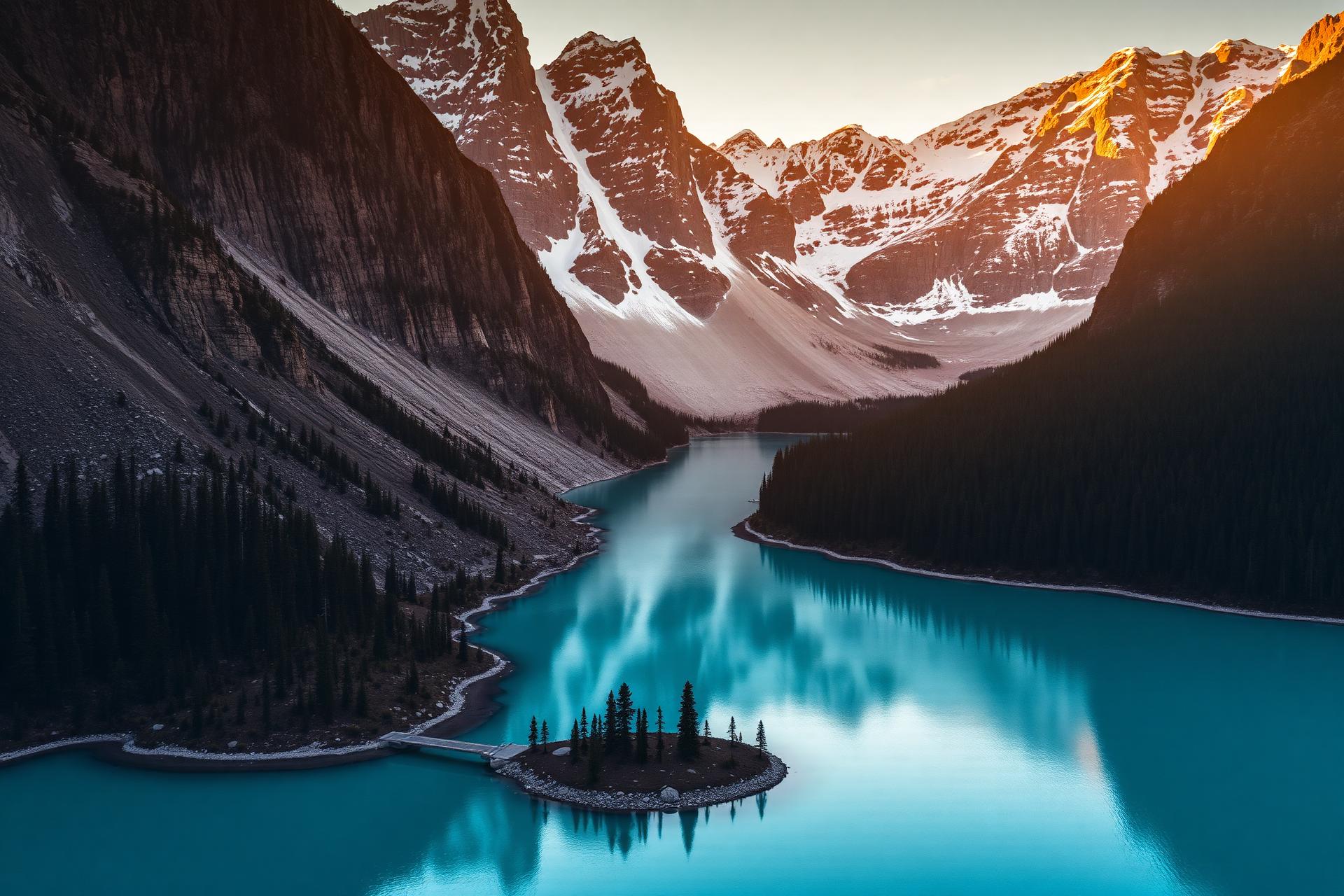
Canada is the second-largest country on Earth, but the way most travellers see it is small. They fly into Toronto, ride an elevator up the CN Tower, take a bus to Niagara Falls, and call it a trip. They miss the part where the country actually begins. The real Canada is six time zones wide, framed by three oceans, stitched together by a single railway and a thousand seaplanes, and quietly home to one of the most varied landscapes any traveller can reach without a visa-on-arrival hassle.
This guide is the long version — the one we wish someone had handed us before our first cross-country trip. It is built for travellers who want more than a checklist: people choosing between the Rockies and the Atlantic, between a summer of long sunsets and a winter of frozen waterfalls, between Vancouver's seawall and St. John's foghorns. Treat it as the map at the front of an atlas. The detail lives in the destination, season, road-trip, and city pages it links to.
A few things to know before you go deep. Canada is officially bilingual (English and French) and increasingly proud of its Indigenous heritage — you will see place names, signage, and welcomes in languages that pre-date Confederation by millennia. Distances are real: Toronto to Vancouver is farther than London to Cairo. And the seasons are not a marketing flourish; they restructure the country four times a year. Plan around them, not against them.